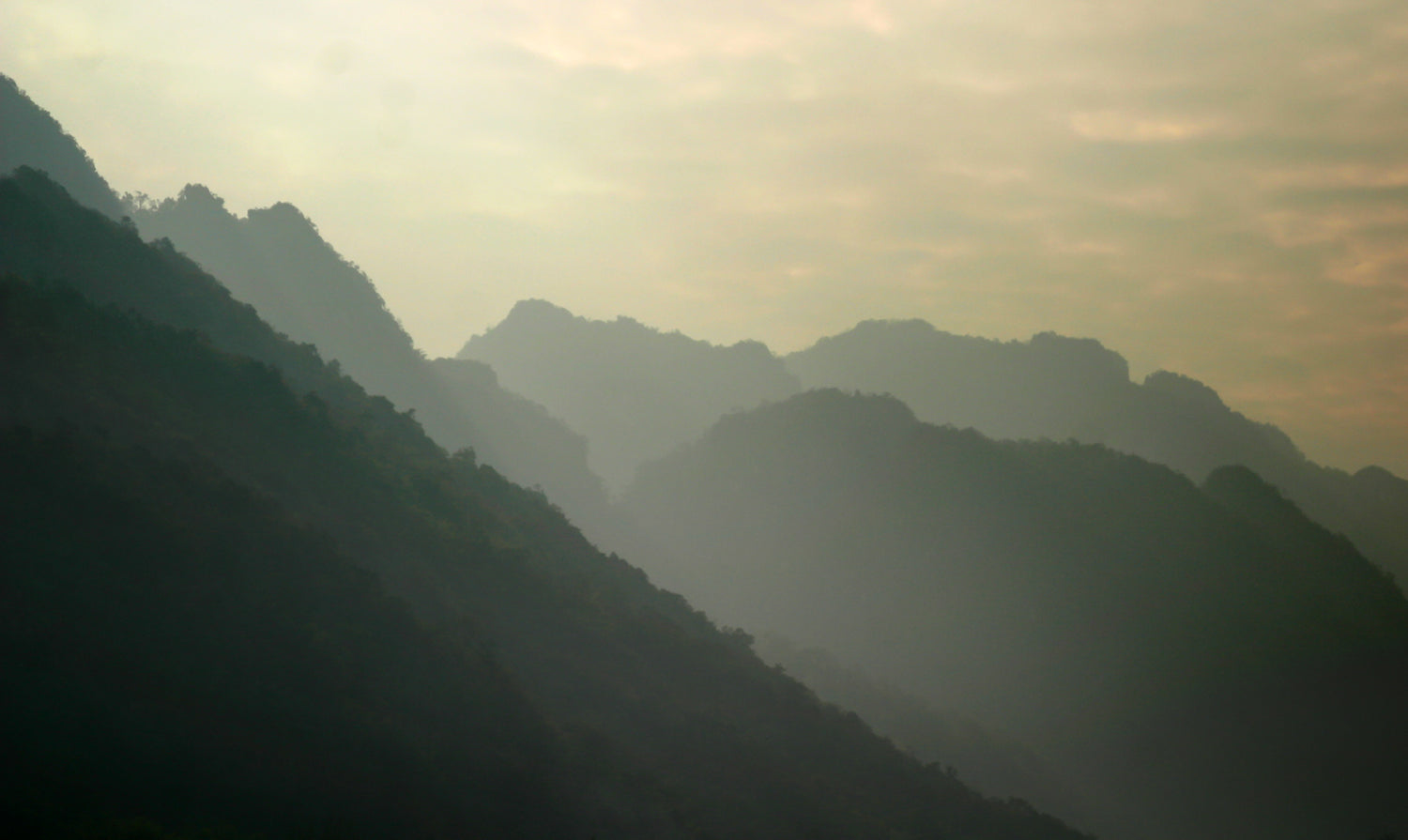
Wyoming gets six million tourists a year. Most of them crowd into Yellowstone and Grand Teton, snap photos from paved overlooks, and leave without ever touching a trail. The state has roughly 18 million acres of public land managed by the BLM and another 9 million acres of National Forest. That means backcountry riding with the kind of solitude that Colorado’s front-range trails stopped offering a decade ago.
Five specific trail systems across Wyoming make a strong case for loading a fat tire electric bike onto a rack and heading for the Cowboy State. These are the rides where tire width, motor torque, and battery range turn a challenging piece of terrain into something you can sustain for hours.
Curt Gowdy State Park — The Granite Playground Near Cheyenne
Curt Gowdy sits about 25 miles west of Cheyenne and 45 minutes from Fort Collins. Its trail network spans roughly 31 miles of purpose-built singletrack threaded through granite outcroppings, pine forest, and three reservoirs. The system has earned an Epic designation from the International Mountain Bicycling Association — a label reserved for trails with exceptional scenery and technical design.
The Ride: Curt Gowdy’s loops break into two zones. The Stone Temple area on the north side delivers fast, flowing intermediate singletrack with embedded granite rollers that let you carry speed through natural half-pipes. The Crow Creek side on the south end adds steeper climbs and rocky technical sections. The full Middle Kingdom loop connects both zones for a 12-mile ride with approximately 1,200 feet of elevation gain.
Fat tire e-bikes thrive here because the trails are engineered with consistent grade reversals — climbs are frequent but short, and the descents reward a bike that stays planted on loose-over-hardpack granite. Tire pressure around 12 to 15 PSI gives the 4-inch tires enough edge grip without sacrificing rollover clearance on the embedded rocks.
Mileage: 3 to 14 miles per loop, 31 miles system total
Difficulty: Beginner to Advanced Intermediate
Best Season: May through October. The park sits at roughly 6,500 feet, so snow clears by late April in most years. July and August afternoons can reach 90°F — ride early.
Best EDIKANI Model: ED-SF01. The full suspension and 2,000W peak motor handle Curt Gowdy’s embedded rock gardens. The 48V 19.2Ah battery covers a full loop with pedal-assist to spare. Hydraulic disc brakes provide the modulation needed on technical granite descents where locking a wheel means sliding off line.
Who Should Ride: Riders with at least some singletrack experience. The greens and blues at Curt Gowdy are genuinely approachable — not fire roads disguised as singletrack. The blacks require commitment and line choice through rock gardens.
Happy Jack Recreation Area — High-Altitude Flow in Medicine Bow National Forest
Happy Jack sits just east of Laramie in the Medicine Bow National Forest at elevations between 7,200 and 8,500 feet. The recreation area contains approximately 30 miles of multi-use trails on Forest Service land, with the bike-optimized singletrack concentrated in the Headquarters Trail system.
The Ride: Headquarters Trail is a roughly 9-mile loop that combines fast bench-cut singletrack with open meadow crossings and tight aspen groves. The tread surface alternates between packed decomposed granite and pine duff — consistently grippy in dry conditions. The loop climbs about 800 vertical feet and descends the same on the back half, with several optional tech lines marked by rock cairns.
The real appeal at 7,500 feet is the air density. A hub motor loses roughly 3% of its output per 1,000 feet of elevation gain above sea level. At Happy Jack’s altitude, an electric motor provides the same assistance it would at sea level — while your lungs are working with roughly 25% less oxygen than at sea level. That gap between human output and motor output widens in your favor with every thousand feet of elevation.
Summer afternoon thunderstorms are a genuine concern here. The Medicine Bow range builds cumulus clouds by noon on most July days. Lightning is the primary risk — plan to be off the trail by 2 p.m. and check the National Weather Service forecast for the Laramie zone before you ride.
Mileage: 9 to 20 miles for connected loops, ~30 miles system total
Difficulty: Intermediate with optional advanced lines
Best Season: June through September. Snow may linger in shaded north-facing sections into early June. September brings crisp air, golden aspen, and stable weather windows.
Best EDIKANI Model: ED-SN01. The dual 5,000W peak motors and 52V 32Ah battery provide a comfortable buffer for Happy Jack’s sustained elevation. The long-range battery matters here because the nearest charging infrastructure is in Laramie — you want a single charge to cover a full day of riding. The lockout front suspension balances climbing efficiency with descending control.
Who Should Ride: Intermediate riders comfortable with sustained climbing at altitude. The base loop is accessible, but the optional tech lines require deliberate line choice through rock features.
Grand Targhee Bike Park — Lift-Served Descents in the Tetons
Grand Targhee Resort sits on the western slope of the Tetons near Alta, Wyoming, at a base elevation of roughly 8,000 feet. Its lift-served bike park opens during summer months (typically late June through early September) and operates the Dreamcatcher chairlift to access a network of gravity-oriented trails.
The Ride: Grand Targhee’s bike park trails cover roughly 47 miles of mapped terrain, according to trail database records. The signature Mill Creek trail runs about 9 miles with approximately 2,200 feet of vertical drop. The upper sections cross wildflower meadows with 360-degree Teton views before the trail drops into forested switchbacks and root-laced technical sections.
Lift-served riding changes the equation for an e-bike. You don’t need a motor for the climb — the chairlift does that. But a fat tire e-bike on the descent gives you the option to throttle out of berms, carry speed through flat traverses between pitch sections, and session the same run multiple times without pedaling back to the lift. The 4-inch tires also provide a wider margin on loose volcanic soil — the surface on Grand Targhee’s upper mountain breaks down into crushed cinders in dry conditions.
The resort operates under a special-use permit on Caribou-Targhee National Forest land. Check Grand Targhee’s website before traveling — e-bike policies at ski resort bike parks vary, and some restrict motorized access to certain trail pods.
Mileage: 9-mile Mill Creek descent, 47-mile park total with multiple trail pods
Difficulty: Intermediate to Expert. Lift-served trails trend steeper and feature larger features than cross-country trail systems.
Best Season: Late June through early September. Snow typically clears the upper mountain by late June. Late August through early September offers the most stable weather at this elevation.
Best EDIKANI Model: TOP-S80. The 3,000W peak motor and hydraulic disc brakes are well-suited to gravity riding. The 52V 32Ah battery provides reserve power for flat traverses and session laps. Full-suspension aftermarket models or the ED-ST01’s 27.5-inch platform also work if you prefer a more trail-bike geometry for park riding.
Who Should Ride: Experienced riders comfortable with lift-served terrain. The bike park setting means consequences from falls can be higher — pads and a full-face helmet are recommended.
Wilkins Peak Trails — High Desert Singletrack Near Green River
The Wilkins Peak trail system in southwestern Wyoming represents roughly 50 miles of desert singletrack on BLM land outside Green River. This is the least-visited major trail system in the state — partly because it sits off the beaten tourist track, and partly because the high-desert climate (elevations around 6,000 to 7,000 feet) limits the riding window.
The Ride: The signature TNT trail is a 3-mile intermediate loop that packs punchy climbs, sandstone slickrock sections, and fast bench-cut descents into a compact circuit. The network as a whole mixes cross-country flow trails with short technical connectors that ride like natural rock features rather than constructed obstacles. Surface conditions range from packed sand to exposed sandstone slabs to loose scree on steeper grades.
This is where fat tire e-bikes show their strongest advantage. The sandy sections that sap momentum on a standard mountain bike — the stretches of loose decomposed sandstone that feel like pedaling through wet concrete — become passable at speed with 4-inch tires at 8 to 10 PSI and a motor pulling 1,500W. The terrain rewards throttle modulation more than line choice on sand, and the wide contact patch reduces the tendency to wash out in loose corners.
Green River itself offers more amenities than the remote location suggests. Hotels, restaurants, and a grocery store are within 10 minutes of the trailhead. The Flaming Gorge National Recreation Area sits 30 miles south and adds UTV-width trails where Class 2 e-bikes are permitted on designated routes.
Mileage: 3 to 15 miles per loop, 50 miles system total
Difficulty: Intermediate with expert options
Best Season: April through early June, then September through October. July and August temperatures regularly exceed 95°F on exposed desert terrain. Spring riding after a damp winter offers hero dirt — the clay-sand mix firms up into a fast, grippable surface.
Best EDIKANI Model: ED-S01. The 1,500W peak motor and 48V 23Ah battery cover the short-to-moderate loops comfortably. The 26x4-inch tires at reduced pressure handle sand transitions better than narrower tires. Mechanical disc brakes are adequate for the terrain — there are few sustained descents that generate significant brake heat.
Who Should Ride: Intermediate riders who don’t mind solitude and self-sufficiency. Cellular coverage is spotty in parts of the network, and the system’s low visitation means you are unlikely to encounter other riders if you need help. Carry at least two liters of water per person from April through October.
Cache Creek to Game Creek Loop — Jackson Hole’s Backyard Trail
Jackson, Wyoming sits at the base of the Teton Range and draws tourists for its skiing, fly fishing, and national park access. But the Cache Creek trail network on the eastern edge of town provides a legitimate singletrack system that locals have been riding for decades — and it’s empty relative to the park traffic three miles away.
The Ride: The Cache Creek to Game Creek loop is a roughly 10-mile route that connects the Cache Creek drainage with the Game Creek drainage via a forested ridgeline crossing. The ride climbs approximately 1,800 vertical feet on a mix of Forest Service doubletrack and singletrack, tops out around 8,000 feet with views across the Gros Ventre Range, then descends through dark timber on the Game Creek side. The descent is fast, rooty, and rewards riders who can carry speed through blind corners — exactly the kind of terrain where hydraulic brakes with good modulation make the difference between a controlled drift and a sudden meeting with a lodgepole pine.
Snow King Mountain and the surrounding Bridger-Teton National Forest trail system add another roughly 50 miles of mapped singletrack, connecting the Cache Creek loop to the Snow King resort zone and the Josie’s Ridge overlook.
Fat tire bikes run well on the Bridger-Teton’s trail surfaces — a mix of packed dirt, pine needle duff, and occasional mud in the spring melt window. Tire pressure between 12 and 16 PSI balances the root compliance you need for the descents with the rolling efficiency for the sustained 1,800-foot climb.
Mileage: 10 miles for the Cache-Game loop, 50-plus miles connecting to Snow King and Phillips Ridge
Difficulty: Intermediate to Advanced Intermediate
Best Season: June through September. Snow on the ridgeline crossing may persist into mid-June. Fall riding in late September delivers cool air, yellow aspen, and elk bugling in the distance.
Best EDIKANI Model: ED-ST01. The 27.5-inch full-suspension platform and 1,500W peak motor balance climbing efficiency with descending control on Jackson’s sustained vertical. The smaller wheels and narrower tires than a 26x4-inch fat bike suit the tighter switchbacks on the Game Creek descent. For riders who want the fat tire footprint, the ED-SF01’s full suspension makes more sense on this terrain than a hardtail fat bike.
Who Should Ride: Intermediate riders with fitness for sustained climbing. The Cache-Game loop is a genuine 10-mile backcountry ride — the nearest road access is at the beginning and end, with no mid-route bailout options. Carry bear spray; both black bears and grizzlies use this drainage.
Planning a Wyoming E-Bike Trip
Vehicle and rack. Most Wyoming trailheads require gravel road access and offer no services. A hitch-mounted rack rated for 70 to 90 pounds per bike — the weight of most fat tire e-bikes with batteries installed — is worth the investment. Check your vehicle’s hitch weight rating before loading two heavy e-bikes.
Battery strategy. Wyoming’s distances between towns are real. Laramie to Green River is 280 miles across I-80. Jackson to Cheyenne is 430 miles. Plan charging stops at hotels or campgrounds with 110V outlets. Carry a portable charger and a 12V inverter if you plan to charge from your vehicle between trailheads — a full battery charge from a 12V source may take 4 to 6 hours depending on the pack capacity.
Weather windows. Wyoming’s riding season splits into two bands. The lower-elevation desert systems (Wilkins Peak, Curt Gowdy) open in April and close by November. The high-country trails (Happy Jack, Grand Targhee, Cache Creek) typically open in June and stay rideable through September. Afternoon thunderstorms are a daily feature from June through August above 7,000 feet — start your ride by 8 a.m. and plan to descend by 1 p.m.
Land manager rules. E-bike access on federal land in Wyoming follows the same classification system used nationally. Class 1 e-bikes (pedal-assist to 20 mph) are permitted on most Forest Service and BLM trails open to bicycles. Class 2 e-bikes (throttle to 20 mph) face more restrictions — always check the specific trail’s motorized use designation. State parks like Curt Gowdy set their own e-bike policies. The Wyoming State Parks website publishes current regulations, and local bike shops in Laramie, Jackson, and Green River can confirm which trails are open to e-bikes during a given season.
The Right EDIKANI Model for Wyoming Terrain
Wyoming’s trail diversity means no single e-bike configuration covers every ride equally well. Here is a summary of which model matches each system from this guide:
| Trail System | Recommended Model | Key Feature Match |
|---|---|---|
| Curt Gowdy State Park | ED-SF01 | Full suspension for granite rock gardens |
| Happy Jack | ED-SN01 | Dual motor + 52V battery for sustained high-altitude climbing |
| Grand Targhee Bike Park | TOP-S80 | 3,000W peak motor for gravity riding; hydraulic brakes for loose volcanic soil |
| Wilkins Peak | ED-S01 | 4-inch tires at low PSI for sand sections; 1,500W motor for desert climbing |
| Cache Creek / Game Creek | ED-ST01 | 27.5-inch full-suspension platform for tight switchbacks and sustained vertical |
All five models ship from EDIKANI’s US warehouse with free FedEx delivery, arrive in 5 to 7 business days, and include a one-year manufacturer’s warranty.
Browse the full fat tire e-bike lineup →
Sources
-
Singletracks — Wyoming Mountain Bike Trails Directory. Trail listings, difficulty ratings, mileage, and rankings for 257 Wyoming trails including Curt Gowdy, Happy Jack, Grand Targhee, Wilkins Peak, Cache Creek, and Snow King. https://www.singletracks.com/bike-trails/region/wyoming/
-
Wyoming Pathways — Statewide trails advocacy organization. Information on trail development, land manager partnerships, and e-bike access policies across Wyoming. https://www.wyopath.org/
-
Wyoming State Parks — Curt Gowdy State Park. Official site with trail maps, camping reservations, and current regulations including e-bike access policies. https://wyoparks.wyo.gov/index.php/places-to-go/curt-gowdy
-
Medicine Bow-Routt National Forests — Happy Jack Recreation Area. USDA Forest Service page with trail descriptions, seasonal access, and multi-use designations. https://www.fs.usda.gov/recarea/mbr/recarea/?recid=82482
-
Bureau of Land Management Wyoming — Green River and Rock Springs field offices. Land management information for the Wilkins Peak trail system and surrounding high desert terrain. https://www.blm.gov/wyoming
-
Grand Targhee Resort — Summer Activities and Bike Park. Official site with lift hours, trail maps, and e-bike policy for the lift-served bike park. https://www.grandtarghee.com/